February 25, 1946
February 1946. World War II is over and wartime production jobs were ending. During the war, Carl and Georgie worked a number of jobs in several places, finishing the war in Pocatello, Idaho. They elected to return to Iowa, where they both had family, but opted to make a grand tour of the west on the way. Georgie wrote a journal of the trip. The story starts here.
We ate breakfast the next morning at a chain grocery and the waiter told us the weather was unusual. Then we drove to the Santa Cruz Mission but it was mostly in ruins.
Drove on the Watsonville past the artichoke capital of the world – went through Castroville and Del Monte then to Monterey where we walked out on the wharf to see the fishing boats. Saw several fish markets selling all kinds of seafood among them red snapper and squid arms.
Saw the old Spanish Customs House, the Presidio and other buildings in connection when Monterey was the Spanish capital.


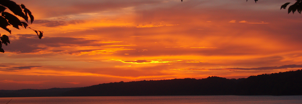
Georgie at Carmel by the Sea. Pictures Carl took of the San Carlos Mission.
We drove to Carmel where we went through the San Carlos Mission. It was our first and we were very much impressed by the architecture and the construction of the church. There were many lovely flowers in the courtyard among them a blooming Calla Lily. We were there at noon when they rang the Angelus.

After we left Carmel, we drove down the coast on the Roosevelt Highway which was dug into the side of the mountains directly above the sea in many places. There had been quite a number of rockslides and in some places, there was one-way traffic for a block. In one place we had to follow a bulldozer that was opening the road. There were “Watch Out for Rolling Rocks” signs all along the way. We saw many army gun positions along the road. Came through Big Sur and saw more redwood trees. Stopped there for lunch.
Continued along the coast. Stopped along the beach to pick up seashells and a plane came along and dived on us. Whether it was the coast guard plane patrolling the beach or just somebody trying to scare us to death we never knew but the pounding of the surf and the roar of the motor was really like something out of a movie.
Near San Simeon we saw a very large estate plastered with “No Trespassing” signs. Later found this was the estate of William R. Hearst.
We stopped at Cambria for the night at a tourist camp. Went into to town in the evening but everything was locked up.
Walt’s Comments
I was intrigued by the mention of gun positions, but I couldn’t find anything about them. Might have to keep digging.
About the Map
Apologies for the weird route on today’s map. Carl and Georgie actually went straight down Highway 1, or, as it was called then, Roosevelt Highway. (Named after Teddy, not Franklin D).
However, on January 29 of this year (2021), there was a major washout of the road south of Big Sur. So Google won’t allow us to draw a map that matches their actual path from 1946.
Georgie talks about dealing with rock slides then too. That makes me wonder how many times the road has been closed like this since 1946.
Also, in case you’re wondering, in order to use a map from Google in our blog, we can’t modify the image, and we have to add the odd caption you see at the bottom of all our maps. Had we been able to modify the image, I would have had to find something else to write about.
Digging Deeper
Information about the 2021 road collapse can be found here.
The San Carlos Borromeo de Carmel mission has an interesting history. More information can be found about it on the California Missions Foundation website
Leave a Reply